Where the Money Goes
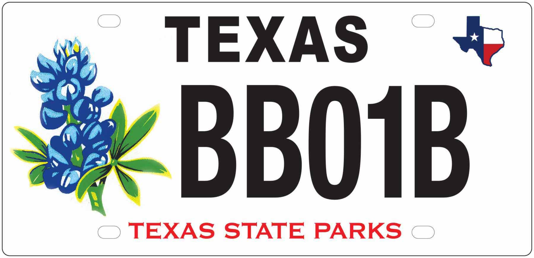
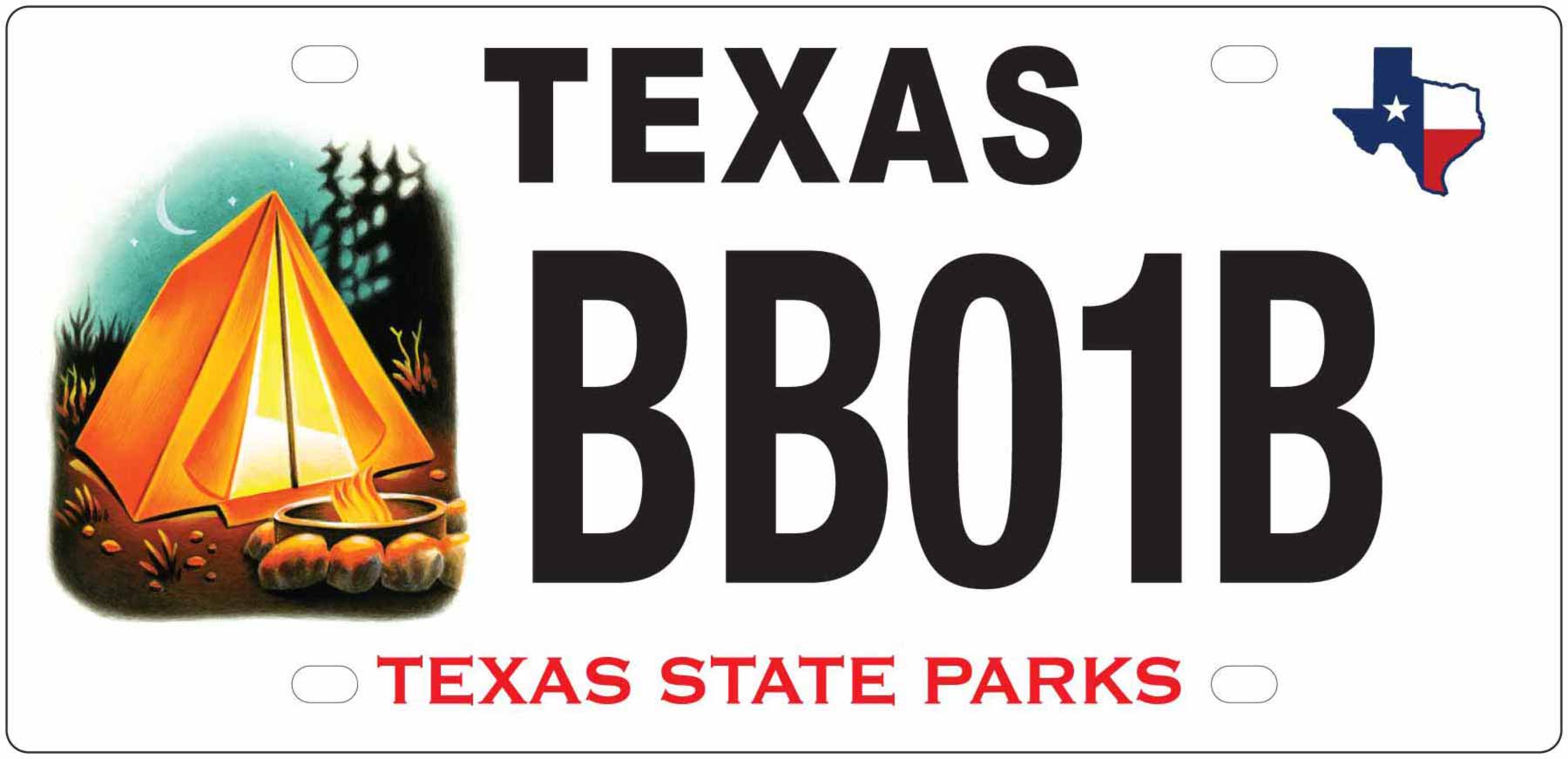
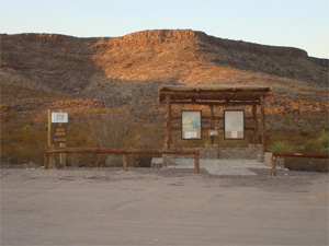
Bluebonnet and Camping License Plate Funded Projects
Show your support for state parks! Put a Bluebonnet or Camping plate on your vehicle, trailer or motorcycle and help preserve the unique beauty of 89 state parks across Texas. The bluebonnet is the state flower and symbolizes the natural beauty of Texas. The Camping plate is a tribute to all those who love to camp in Texas State Parks.
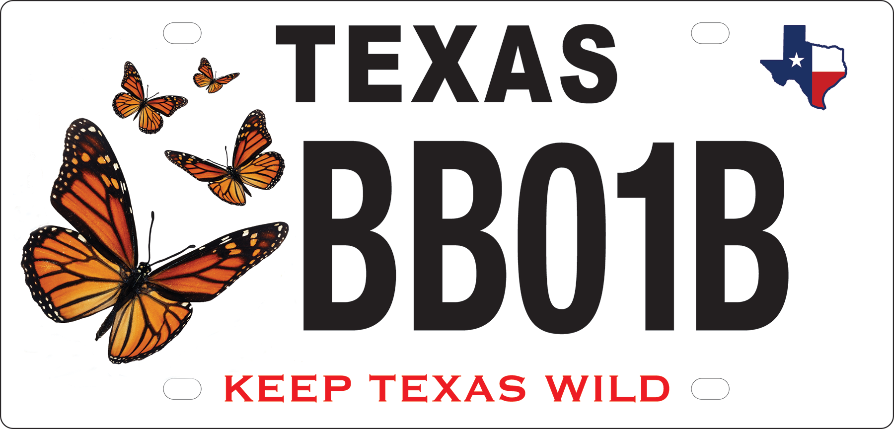
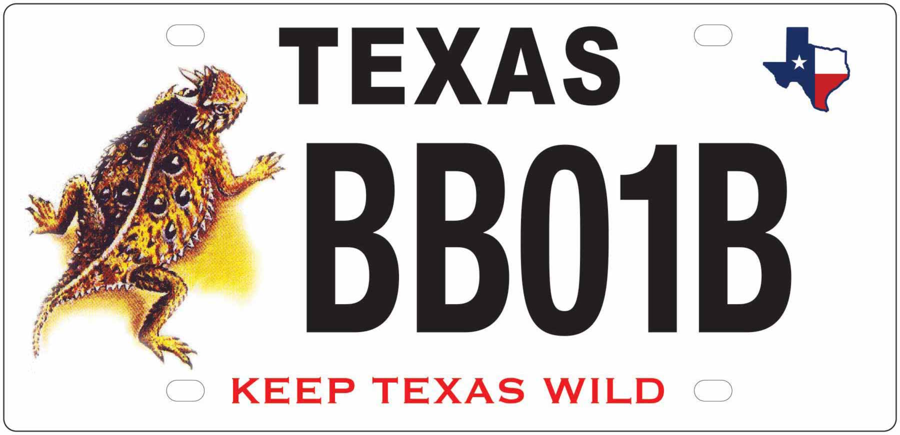
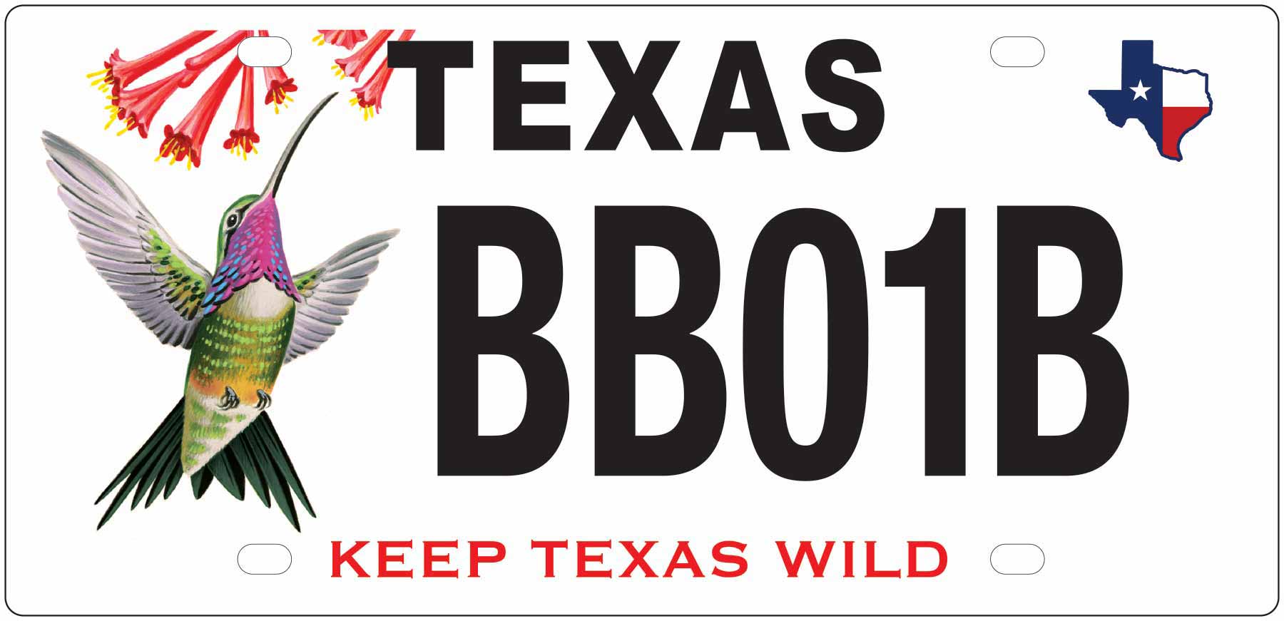
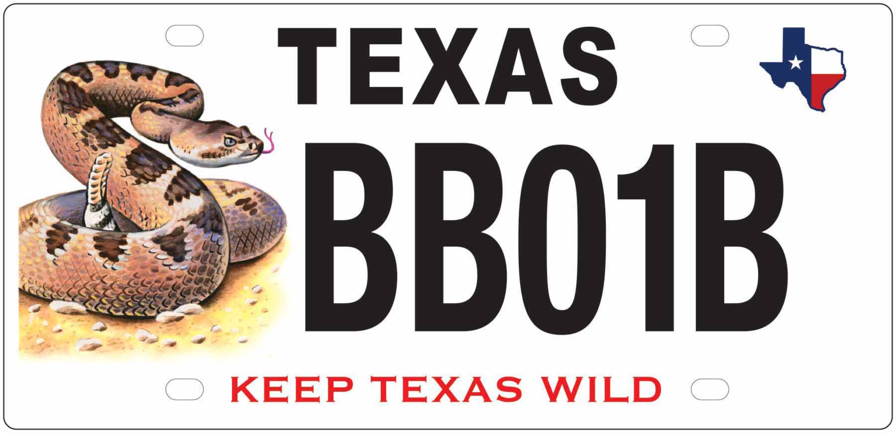
Monarch Butterfly, Horned Lizard, Hummingbird and Rattlesnake License Plate Funded Projects
Show your support for Texas native non-game wildlife! Put a Monarch Butterfly, Horned Lizard, Hummingbird or Rattlesnake plate on your vehicle, trailer or motorcycle and help conserve wildlife diversity by funding a vast array of projects that help protect native species and their habitats. Beneficiaries include: Horned Lizard (the state's official reptile), the Texas Bumblebee, Ocelot, Attwater's Greater Prairie-Chicken, Red Wolf, the Whooping Crane, the Alligator Snapping Turtle and an assortment of other mammals, birds, reptiles, amphibians and plants. All projects funded by this plate are used to implement the Texas Wildlife Action Plan.
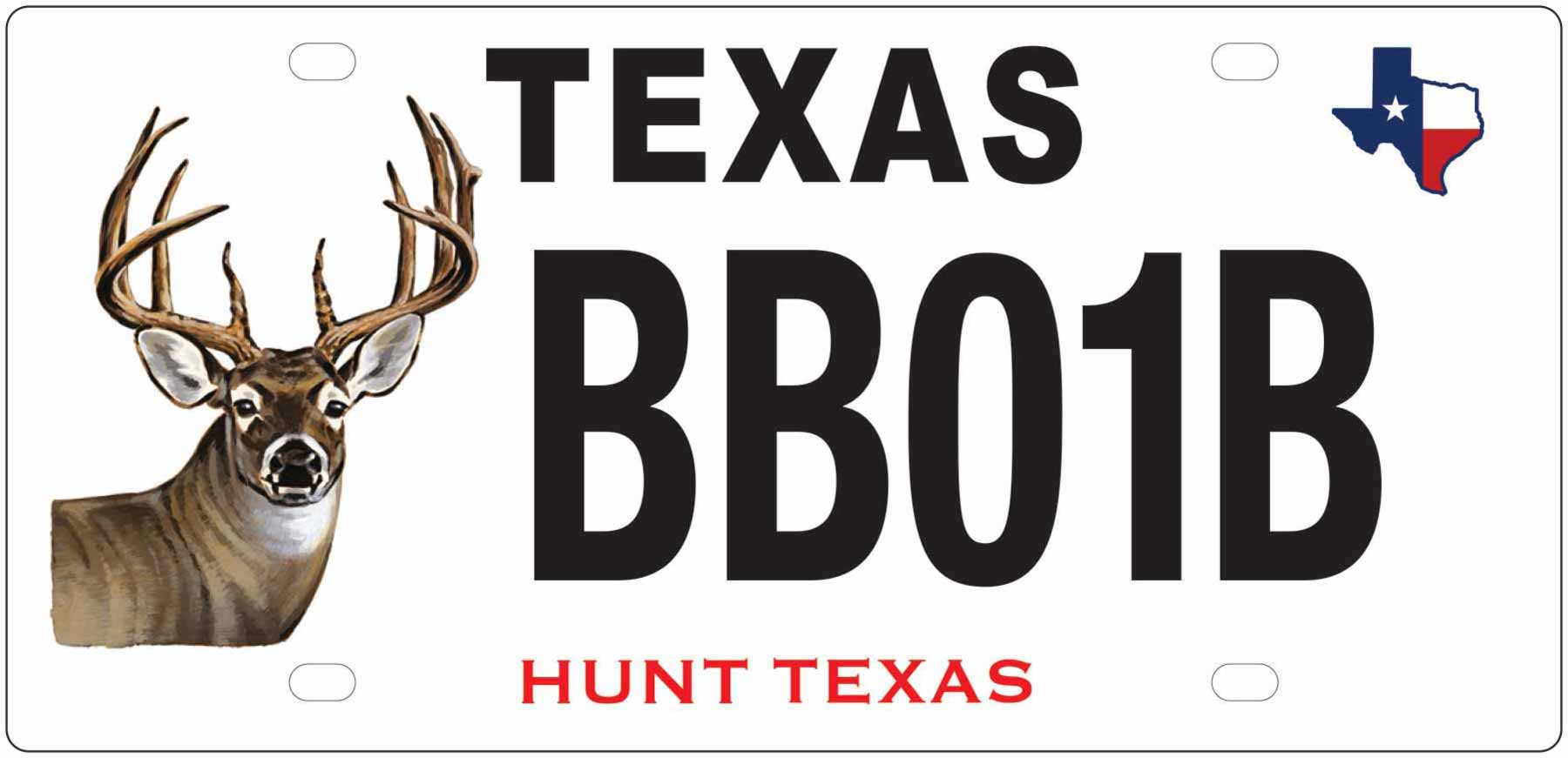
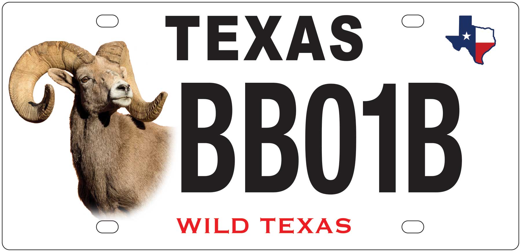
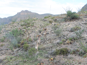
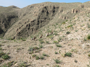
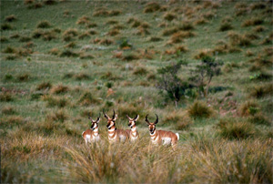
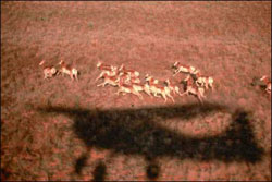
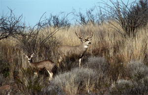
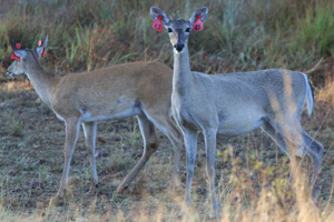
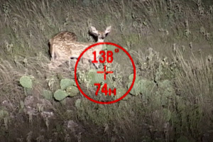
White-tailed Deer and Desert Bighorn Sheep License Plate Funded Projects
Show your support for Texas big game! Put a White-tailed Deer or Desert Bighorn Sheep plate on your vehicle, trailer or motorcycle and help fund wildlife management and research.
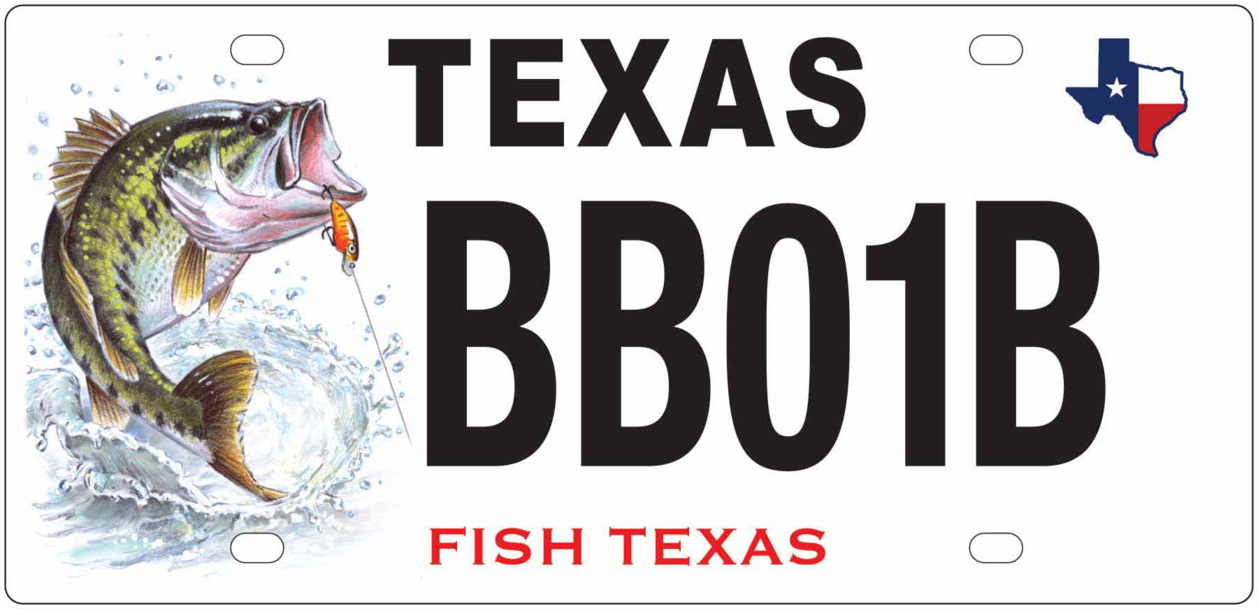
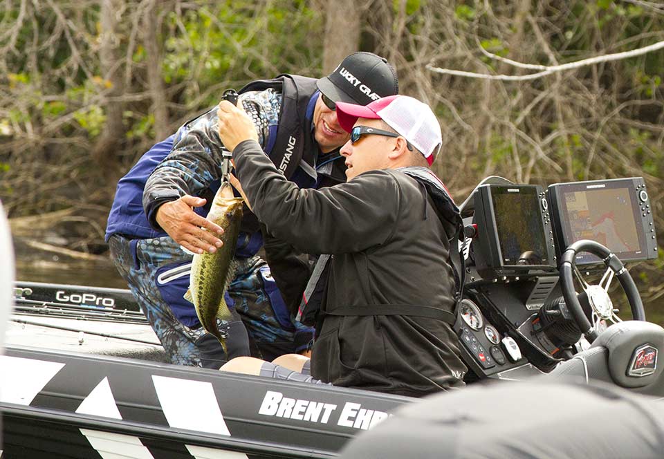
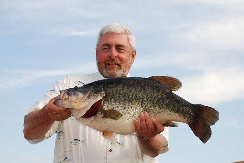
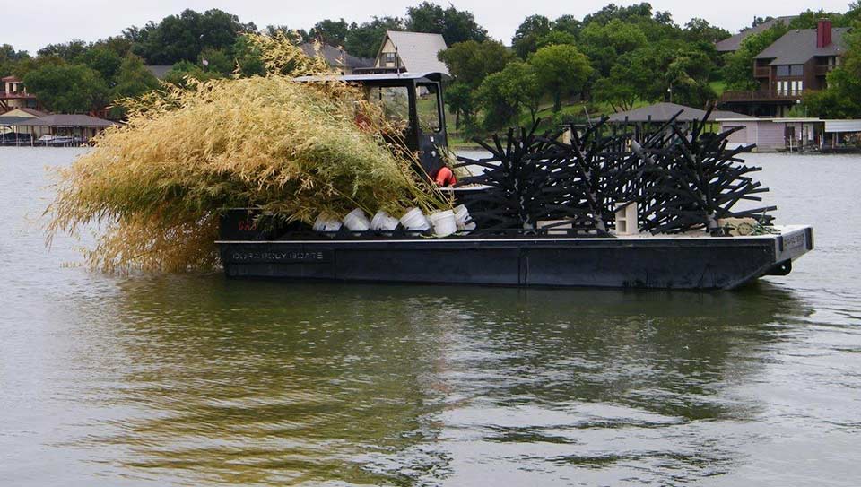
Largemouth Bass License Plate Funded Projects
Show off your bass! Put a Largemouth Bass plate on your vehicle, trailer or motorcycle and help keep bass fishing BIG in Texas.
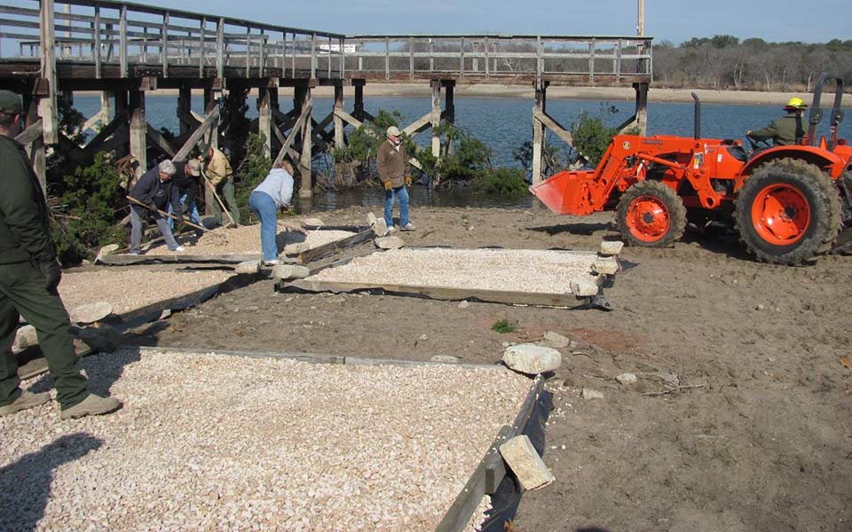
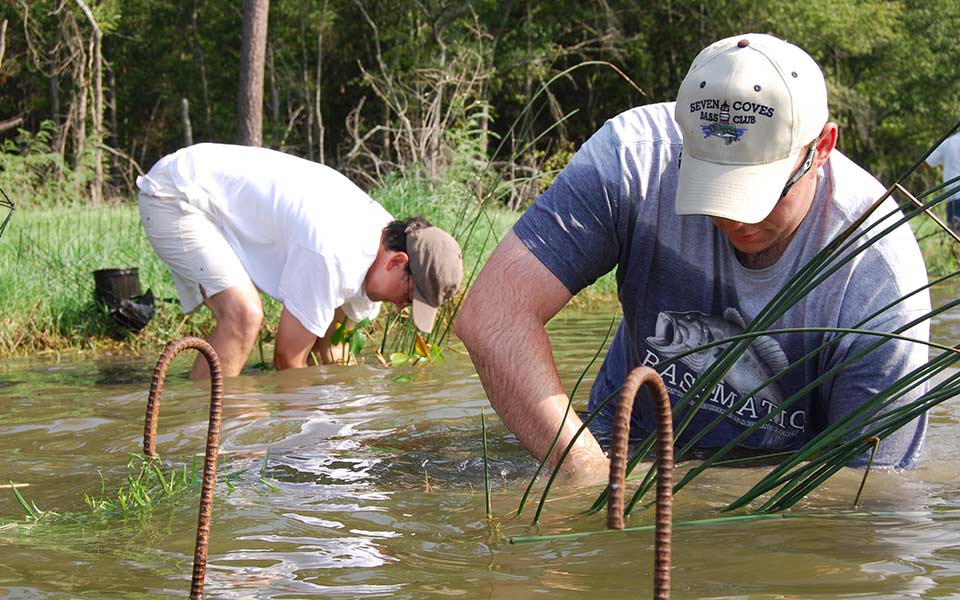
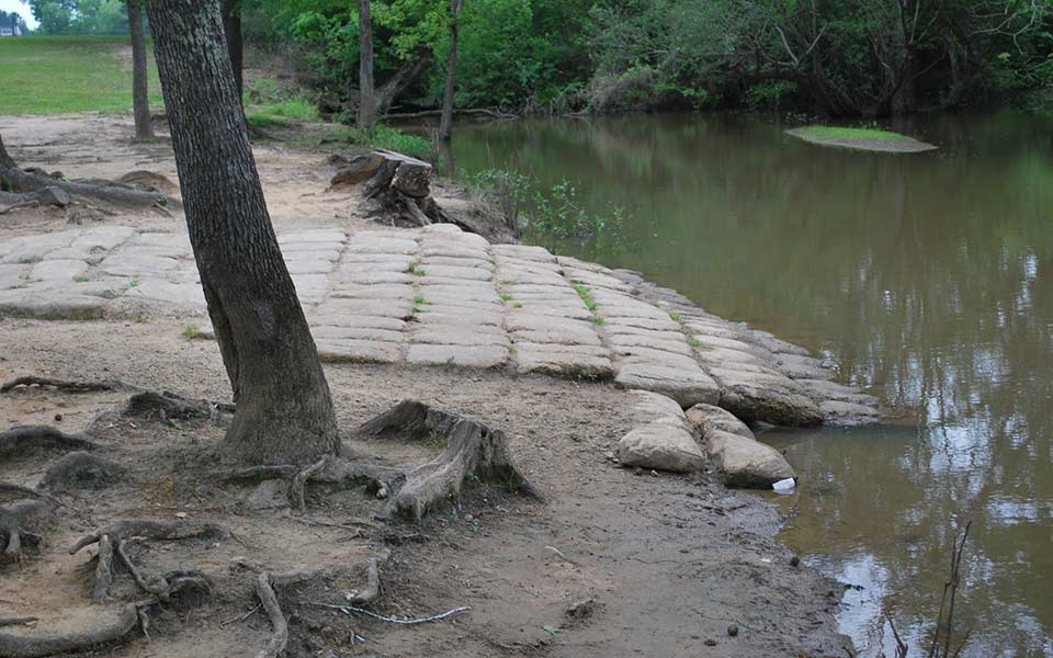
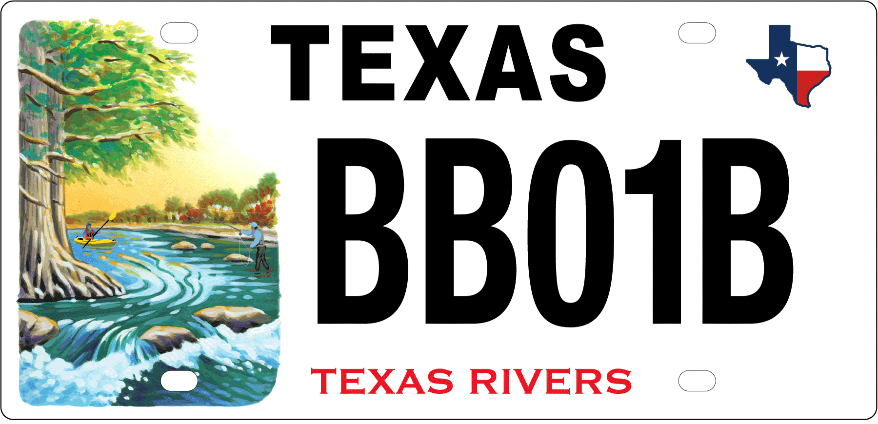
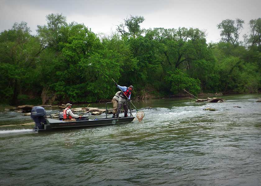
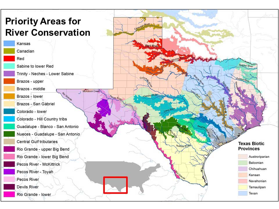
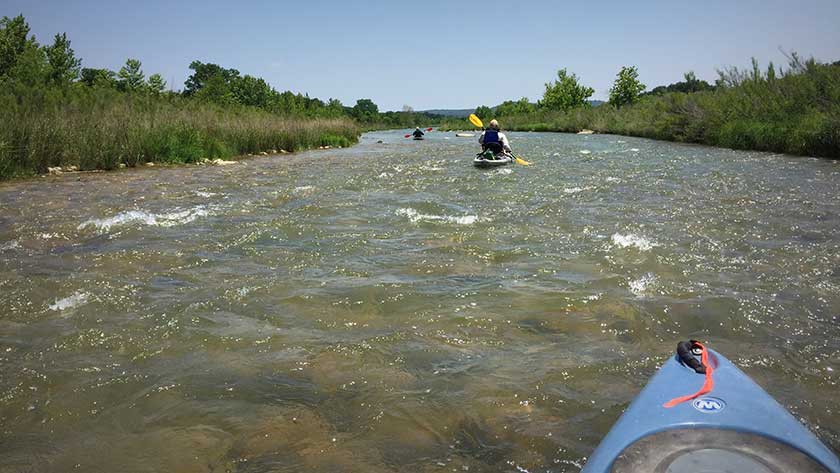
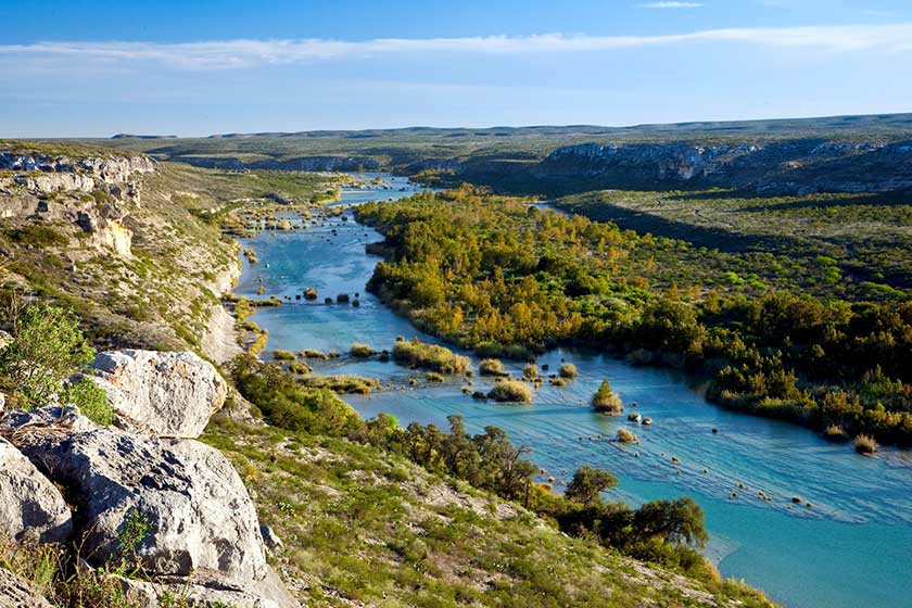
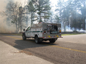
Texas Rivers License Plate Funded Projects
Show your support for Texas Rivers! Put a Texas Rivers plate on your vehicle, boat trailer, motorcycle, RV or travel trailer and help protect and preserve Texas Rivers. Sales from this plate will help fund a vast array of projects that help protect Texas Rivers and the fish, wildlife and habitat they make possible.